Desert
Death Valley in Winter: A 3-Day Itinerary
A 3-day Death Valley winter itinerary: Zabriskie Point at sunrise, Badwater Basin, Mesquite Dunes, Golden and Mosaic canyons, dark skies and where to stay.

By Alex Khachigian · Updated September 2026 · 3 min read
Death Valley is the hottest, driest and lowest national park in the US. From November through March, days are mild enough to hike.
This plan is based on the Death Valley leg of my 22-day California parks loop.
In This Guide
Death Valley Winter Weather and Crowds
December and January highs are in the 60s, with lows in the 40s or near freezing. By March, highs reach the 80s.
Dante’s View is much colder, and snow can dust Telescope Peak. Winter is peak season, so lodging fills on holidays and weekends.
How to Get to Death Valley
Furnace Creek is 2 hours from Las Vegas and 4.5 to 5 hours from Los Angeles.
My Death Valley and Eastern Sierra winter itinerary combines both.
Day 1: Mesquite Flat Sand Dunes and Stargazing
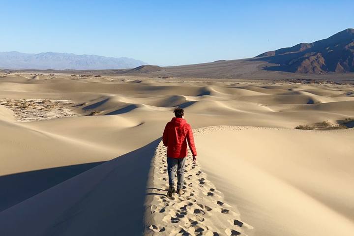
The Mesquite Flat Sand Dunes near Stovepipe Wells have no trail. The tallest dune is about a mile from the lot.
Go in late afternoon for shadows, and walk farther out to avoid footprints.
- Dinner: Toll Road Restaurant at Stovepipe Wells, or the Last Kind Words Saloon at The Ranch at Death Valley
Dark Sky Stargazing
Death Valley is a Gold Tier International Dark Sky Park. Harmony Borax Works and Badwater Basin are easy dark spots.
My California stargazing guide covers moon phases and nearby dark sky parks.
Day 2: Zabriskie Point, Golden Canyon and Badwater Road
Most of day 2 is on Badwater Road south of Furnace Creek. Start before sunrise.
Sunrise at Zabriskie Point
Zabriskie Point overlooks the badlands, Manly Beacon and the Panamint Range. It’s a short uphill walk from the lot.
Golden Canyon to Red Cathedral
Golden Canyon to Red Cathedral is 3 miles round trip. Looping back through Gower Gulch makes it 4 to 6 miles.
Badwater Basin and Badwater Road Stops
Badwater Basin is the lowest point in North America, 282 feet below sea level. Walk a mile out on the salt flats to see clear salt polygons.
Stop at Devils Golf Course and Artists Drive, a 9 mile loop. See my California slot canyons guide for Sidewinder Canyon.
Sunset at Dante’s View
Dante’s View, at 5,476 feet, overlooks Badwater Basin and is often 20 degrees colder.
Day 3: Mosaic Canyon and Ubehebe Crater
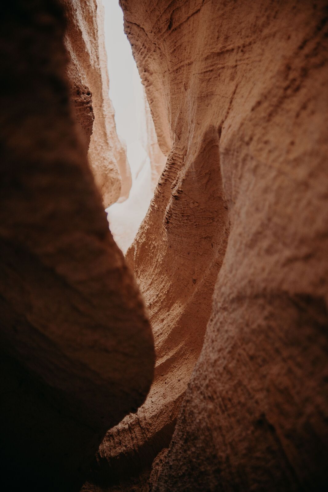
Mosaic Canyon near Stovepipe Wells is reached by a short gravel road. The first half mile has polished marble walls; farther in requires light scrambling.
Ubehebe Crater, to the north, is about 600 feet deep. Walk the rim, or hike down knowing the climb out is steep and loose.
- Leaving west: stop at Father Crowley Vista Point on the way to Lone Pine and the Alabama Hills.
Titus Canyon (High Clearance Only)
Titus Canyon Road is a one-way dirt road from Nevada into the valley for high-clearance vehicles. It often closes after storms.
Where to Stay in Death Valley
Staying inside the park saves hours of driving. Winter lodging books months ahead, especially holidays.
The Inn at Death Valley and The Ranch at Death Valley are in Furnace Creek; Stovepipe Wells Village Hotel is near the dunes. See my Death Valley lodging guide.
Winter Safety and Leave No Trace in Death Valley
The sun is strong and the air very dry even in winter. Carry extra water, wear sun protection and pack layers.
Stay on roads and trails; tracks on salt flats and desert crust last for years. Taking rocks, plants or artifacts is illegal.
Frequently Asked Questions
Is Death Valley worth visiting in winter?
Yes, it’s the best season, with mild temperatures for hiking. It’s also the busiest, so book lodging early.
How many days do you need in Death Valley?
Three days covers the main sights without rushing. Two days works if you’re short on time.
Where should I stay in Death Valley?
Furnace Creek, at The Inn at Death Valley or The Ranch at Death Valley. Stovepipe Wells is second; Beatty and Lone Pine are distant fallbacks.
Is it cold in Death Valley in winter?
Days are usually in the 60s, but nights can be near freezing. Dante’s View is much colder.
Can you drive a regular car in Death Valley?
Yes. Badwater Road, Artists Drive, Zabriskie Point and Dante’s View are paved, and Mosaic Canyon’s gravel road is fine when dry. Titus Canyon needs high clearance.