Sierra Nevada
Yosemite Firefall Guide: Dates, Parking and Viewing
How to see Yosemite Firefall at Horsetail Fall: best February dates, entry reservation rules, where to park and watch, winter driving and what to pack.

By Alex Khachigian · Updated September 2026 · 3 min read
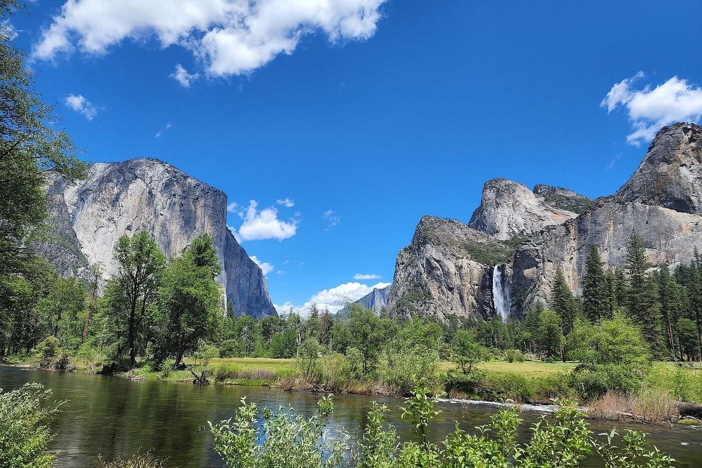
For about two weeks each February, sunset lights Horsetail Fall on the east face of El Capitan orange and red for about 10 minutes. This is Firefall.
It requires a flowing fall, a clear sunset and following the park’s entry and parking rules.
In This Guide
When Does Yosemite Firefall Happen?
The window runs about February 10 to 28, strongest mid-month. Mid-February sunset is 5:30 to 5:45 p.m., and the glow starts 10 to 15 minutes before.
Three Things Have to Line Up
Horsetail Fall must be flowing, the western sky clear and you east of El Capitan looking west.
Firefall Reservations and Entry Rules
Recent years have required a vehicle reservation on peak February dates, released on Recreation.gov and gone quickly. In-park lodging or campground reservations have generally counted as entry.
There’s no separate Firefall permit, but the entrance fee applies. Rules change yearly, so check nps.gov/yose in December or January.
- Read the current Firefall page on nps.gov/yose
- Watch Recreation.gov for release dates
- Book in-park lodging early
Where to Park and Watch Firefall
The main viewing area has been near the El Capitan Picnic Area on Northside Drive. Park at Yosemite Falls parking and walk about 1.5 miles each way.
How Early to Arrive
Arrive 1 to 2 hours before sunset. Rangers direct foot traffic and enforce closures.
Closed Areas
Parts of the Merced River bank are closed to protect vegetation. Stay inside the marked viewing areas.
Driving to Yosemite in February
Highway 140 through Mariposa is the most reliable route in snow. Tioga and Glacier Point roads are closed.
During chain controls, all vehicles must carry chains. Check Caltrans QuickMap.
- Carry chains that fit and practice fitting them
- Keep the tank half full; there’s no gas in Yosemite Valley
- Allow extra time at entrance stations
What to Pack for Firefall
Expect to stand in the cold for an hour or two, often on snow or ice. My Yosemite packing list has a winter checklist.
- Insulated jacket, hat, gloves and warm boots
- Microspikes for icy paths
- Small camp chair or foam pad
- Thermos and snacks (pack out wrappers)
- Headlamp with spare batteries
- Telephoto lens and tripod for photos
Where to Stay for Yosemite Firefall
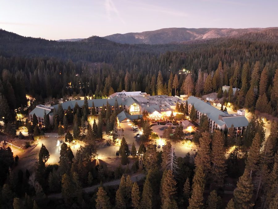
In-park lodging has generally covered entry. Yosemite Valley Lodge, The Ahwahnee and Curry Village are in the Valley.
Outside, try El Portal, Evergreen Lodge at Yosemite, or Firefall Ranch in Groveland (which I featured in a #sponsored post), 30 minutes from the Big Oak Flat Entrance. See my Yosemite lodging guide.
Make a Winter Weekend of It
Add Tunnel View and the Curry Village ice rink. See my 3 days in Yosemite itinerary.
Badger Pass has skiing and ranger-led snowshoe walks when operating. Bears are active in winter, so use food lockers.
Frequently Asked Questions
Do you need a reservation to see Firefall?
There’s no Firefall permit, but recent years have required a vehicle reservation on peak February dates. Check nps.gov/yose and Recreation.gov.
What time does Firefall happen?
In the last 10 to 15 minutes before sunset, about 5:30 to 5:45 p.m. in mid-February. Arrive 1 to 2 hours early.
What are the best dates for Yosemite Firefall?
About February 10 to 28, strongest mid-month. Horsetail Fall must be flowing and the sky clear.
Where is the best place to watch Firefall?
Recently, the area near the El Capitan Picnic Area on Northside Drive. Most people park at Yosemite Falls parking and walk about 1.5 miles.
Can you see Firefall every year?
No. Low snowpack or clouds at sunset can prevent it entirely.
Destination guide
My Yosemite hotel, Airbnb and tour picks