Central Coast
Big Sur Coastal Driving Guide: Must-See Overlooks, Bridges, and Turnouts
Drive Big Sur like a local: the best overlooks, bridges, and turnouts on Highway 1 from Carmel to Cambria, plus closure tips, timing, and driving etiquette.

By Alex Khachigian · Updated September 2026 · 4 min read
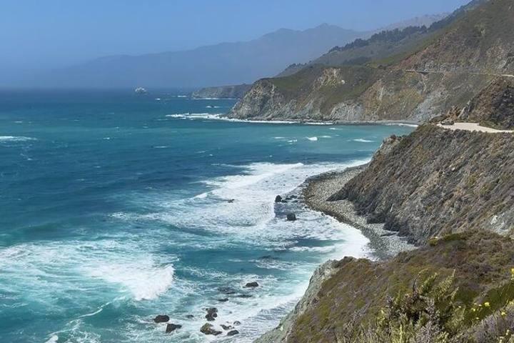
Big Sur is about 90 miles of Highway 1 along the cliffs between Carmel and Cambria. It was the last leg of my 22-day California loop.
This guide runs north to south through overlooks, bridges, turnouts and short walks, plus closures, etiquette, gas and food.
In This Guide
Before You Go: Closures, Gas, and Timing
Landslides regularly close parts of Highway 1, especially after winter storms. Closures near Paul’s Slide and Regent’s Slide south of Lucia have lasted months, leaving some businesses reachable from one direction only.
Gas is limited and expensive, so fill up in Carmel or Cambria. Driving north to south keeps you on the ocean side for easier turnouts.
My Pacific Coast Highway road trip guide covers San Francisco to LA, and my guide to driving Highway 1 in winter covers storm season.
Northern Big Sur: Carmel to Point Sur
The first 30 miles south of Carmel have the best-known views and the most traffic. Do this stretch early.
Point Lobos and Garrapata
At Point Lobos State Natural Reserve, walk the Cypress Grove and Bird Island Trails for turquoise coves and sea lions. Inside parking is limited, so arrive early.
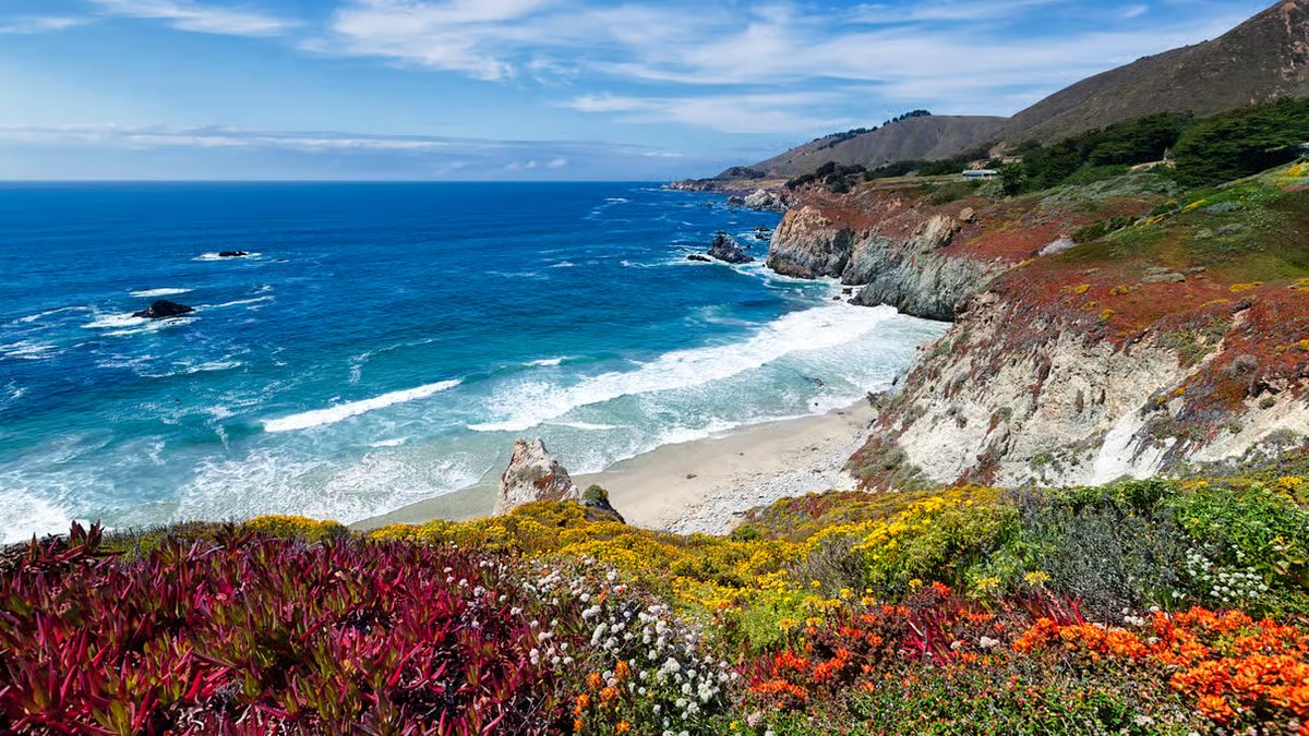
Garrapata State Park has several unmarked turnouts; Soberanes Point is an easy walk with spring wildflowers. For Carmel itself, see my weekend in Carmel-by-the-Sea guide.
Rocky Creek, Bixby Creek, and Hurricane Point
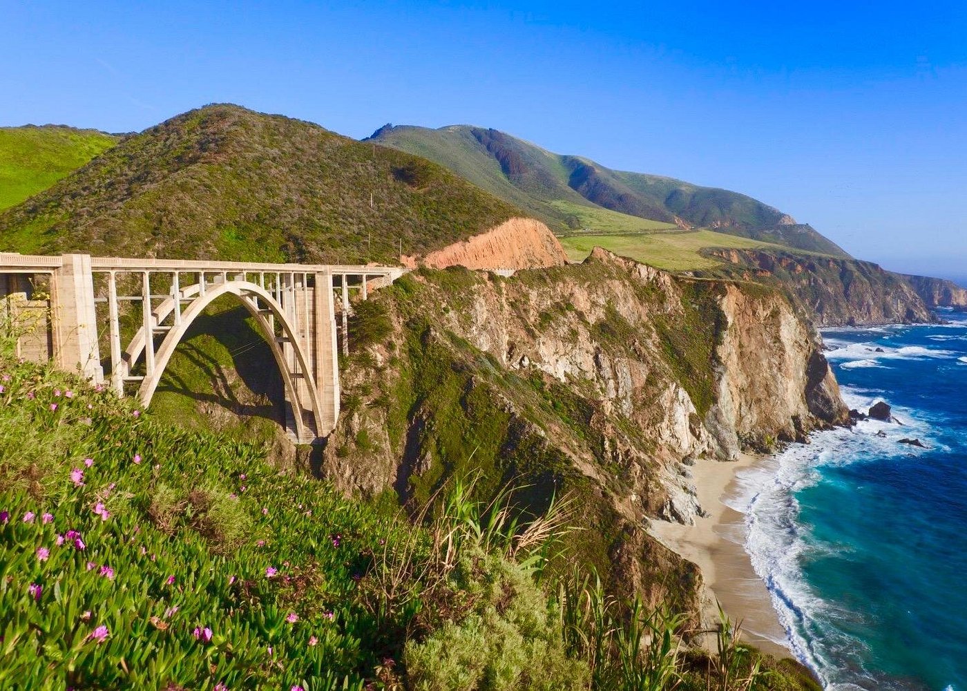
Bixby Creek Bridge, built in 1932, is a drive-by: you can’t stop at it, but Highway 1 crosses it.
Rocky Creek Bridge, just north, is a quieter concrete arch. Hurricane Point, south of Bixby, is one of the highest points on the drive.
Point Sur and Andrew Molera
Point Sur Lighthouse sits on a volcanic rock visible from the highway. Guided tours run on select days.
Andrew Molera State Park has trails through meadows and along the Big Sur River to a quiet beach.
Big Sur Valley: Pfeiffer Big Sur and Pfeiffer Beach
The Big Sur Valley has redwoods, the Big Sur River, and most of the lodging, food and gas. Pfeiffer Big Sur State Park has the short Pfeiffer Falls and Valley View Trails.
Pfeiffer Beach, down narrow, unsigned Sycamore Canyon Road, has Keyhole Arch and purple sand. Around the winter solstice, the sunset shines through the arch.
Where to Eat in the Valley
The Big Sur River Inn has a riverside deck open to the public. Big Sur Lodge Espresso House has a redwood patio near the Pfeiffer Falls trailhead.
Big Sur Roadhouse serves breakfast and lunch. Farther south, Nepenthe and Café Kevah sit high above the ocean.
Southern Big Sur: McWay Falls to Cambria
South of the valley, services thin out fast. Eat and fuel up before leaving.
McWay Falls and Partington Cove
McWay Falls in Julia Pfeiffer Burns State Park drops directly onto a beach. A short, flat trail leads to the overlook; the beach is closed.
Partington Cove, just north, is a steep trail through a short tunnel to a rocky cove. My guide to coastal hikes in Big Sur has more.
Lucia to Ragged Point
Limekiln State Park has a short redwood trail to a waterfall and historic lime kilns, plus a small beach. Day use has been $10 per car, cash only.
Sand Dollar Beach is good for a picnic. Ragged Point has a small inn, a cafe and a trail to a waterfall and beach.
Piedras Blancas, Hearst Castle, and Cambria
At the Piedras Blancas Elephant Seal Vista Point, thousands of elephant seals gather, especially during winter pupping season. They’re protected and fast, so stay behind the fences.
In San Simeon, Hearst Castle was built from 1919 to 1947 and designed by Julia Morgan, California’s first licensed female architect. Finish in Cambria at the Moonstone Beach Boardwalk.
Where to Stay in Big Sur
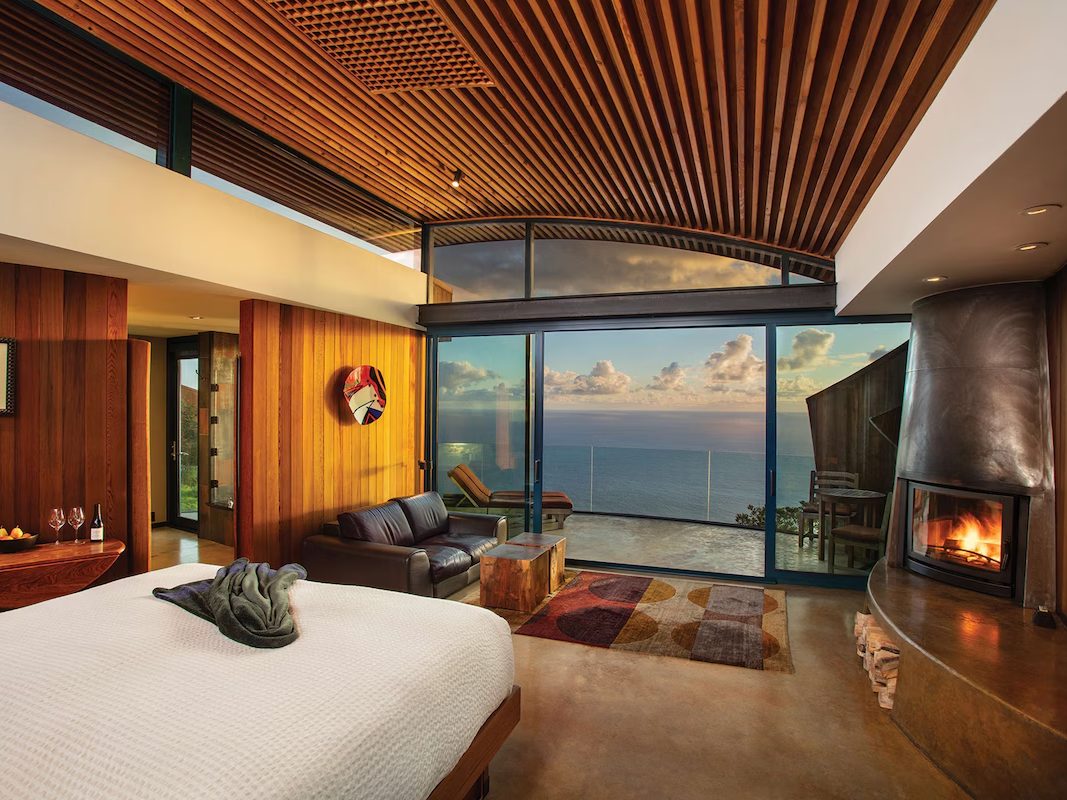
Options range from Post Ranch Inn and Alila Ventana on the cliffs to redwood cabins at Glen Oaks, forest rooms at Deetjen’s and yurts at Treebones. All book up well ahead, especially weekends.
I compare them in my guide to where to stay in Big Sur. To base in town, see where to stay in Monterey and Carmel.
Driving Etiquette and Safety
Use turnouts to let faster cars pass, and never stop in the road for photos. Pull fully off the pavement, watch for cyclists, and use headlights in fog.
Stay behind fences and on trails; the cliffs are unstable. Pack out trash and respect private property.
Frequently Asked Questions
How long does it take to drive Big Sur?
Carmel to Cambria is about 90 miles, around 2.5 to 3 hours without stops. Most people take a full day or stay overnight.
Is Highway 1 through Big Sur open?
Sections close regularly for landslides, sometimes for months. Check Caltrans QuickMap before your trip.
Which direction is best to drive Big Sur?
North to south, which keeps you on the ocean side for easier turnouts.
Where can I get gas in Big Sur?
A few limited, expensive stations operate in the Big Sur Valley and farther south. Fill up in Carmel heading south or Cambria heading north.
Destination guide
My Big Sur hotel, Airbnb and tour picks