Sierra Nevada
Emerald Bay, Lake Tahoe: Vikingsholm, Hikes and Parking
How to visit Emerald Bay in Lake Tahoe: Inspiration Point, the Vikingsholm Trail, Eagle Falls, the Rubicon Trail, kayaking, parking and Highway 89 closures.

By Alex Khachigian · Updated September 2026 · 5 min read
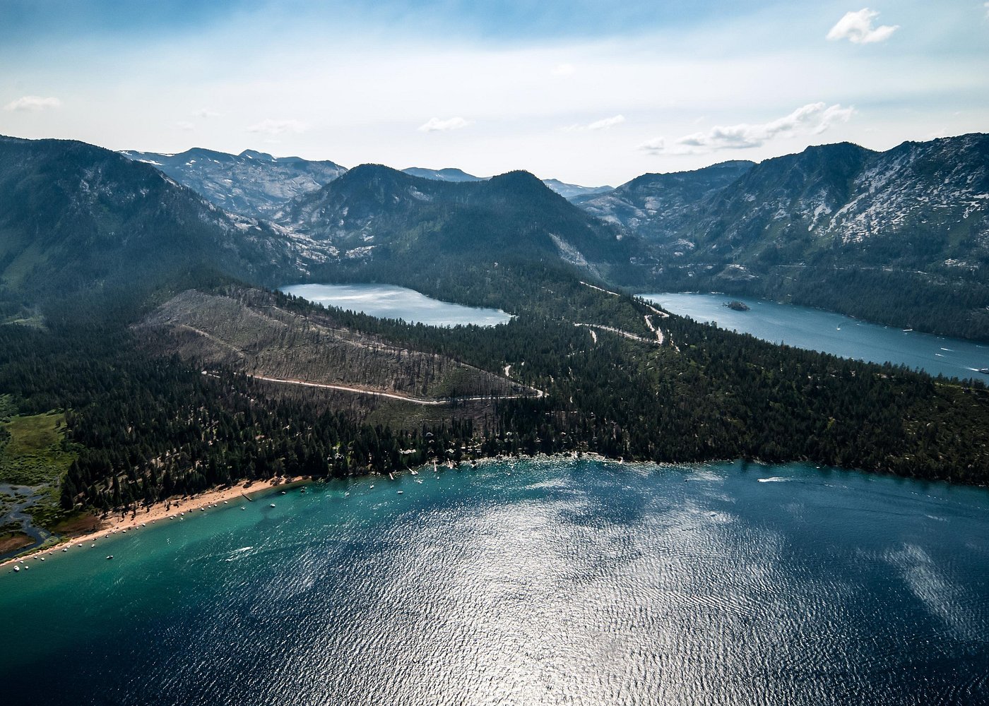
Emerald Bay is a glacier-carved inlet on Lake Tahoe’s southwest shore, with the lake’s only island in the middle. Everything is along a short, twisty stretch of Highway 89 between South Lake Tahoe and D.L. Bliss State Park.
This guide covers the overlooks, hikes, getting on the water, parking and winter closures. Summer lots fill by mid-morning.
In This Guide
- How to Get to Emerald Bay
- Best Time to Visit Emerald Bay
- Inspiration Point and the Emerald Bay Overlooks
- Hiking the Vikingsholm Trail
- Eagle Falls and Eagle Lake
- Rubicon Trail: Emerald Bay to D.L. Bliss
- Fannette Island, Boat Cruises and Kayaking Emerald Bay
- Highway 89 Winter Closures and Parking at Emerald Bay
- Where to Stay Near Emerald Bay
- FAQ
How to Get to Emerald Bay
Emerald Bay is about 10 miles, or 20 to 25 minutes, north of the “Y” in South Lake Tahoe where US-50 meets Highway 89. From Tahoe City it’s about 18 miles, or 40 minutes, south.
- Inspiration Point: main overlook, south side of the bay
- Vikingsholm lot: trailhead for Vikingsholm and Lower Eagle Falls
- Eagle Falls trailhead: Upper Eagle Falls and Eagle Lake
- D.L. Bliss State Park: Calawee Cove and the north end of the Rubicon Trail
Best Time to Visit Emerald Bay
Late June through September, everything is open: Vikingsholm tours, D.L. Bliss and Fannette Island. July and August lots often fill before 9 a.m. on weekends.
September is the best month: the warmest water, fewer people after Labor Day, and calm mornings.
Eagle Falls peaks in late spring; higher trails can hold snow into June.
Inspiration Point and the Emerald Bay Overlooks
Inspiration Point is a large paved pullout with the full view of Fannette Island and the mouth of the bay. It’s the stop if you only have 15 minutes.
Across the highway, the Bayview trailhead starts a hike of under 2 miles round trip to Cascade Falls above Cascade Lake.
Hiking the Vikingsholm Trail
The Vikingsholm Trail is a wide path about 1 mile each way from the lot to the shore, dropping 400 to 500 feet. The climb back is sunny and above 6,000 feet.
What to See at Vikingsholm
Vikingsholm is a 38-room Scandinavian-style home built in 1929 for Lora Josephine Knight.
Interior tours run in summer for a fee. The grounds and beach are free.
Lower Eagle Falls From Vikingsholm
A short spur behind the house leads to the base of Lower Eagle Falls.
Eagle Falls and Eagle Lake
The Eagle Falls trailhead is on the west side of Highway 89, just past the Vikingsholm lot. A short loop climbs rock steps to Upper Eagle Falls and a bridge over the cascade.
The trail continues into Desolation Wilderness to Eagle Lake, about 1 mile in. It’s roughly 2 miles round trip with a few hundred feet of climbing.
Day hikers need a free self-issued Desolation Wilderness permit from the trailhead. The lot is small, charges a fee and fills early in summer.
Rubicon Trail: Emerald Bay to D.L. Bliss
The Rubicon Trail follows the shore for about 4.5 miles one way between Vikingsholm and Calawee Cove in D.L. Bliss State Park. It’s mostly gentle.
Highlights Along the Trail
Near D.L. Bliss the trail runs along a cliff, in places with only a cable or railing at the edge. A spur leads to the Rubicon Point Lighthouse.
Calawee Cove, at the D.L. Bliss end, is a small swimming beach.
Logistics and Shuttling
Most people hike out and back rather than shuttle cars.
D.L. Bliss is open roughly late spring to early fall, and the Calawee Cove lot is small with a day-use fee. Rangers may close the gate when it’s full.
Fannette Island, Boat Cruises and Kayaking Emerald Bay
From the water you get close to the cliffs and Fannette Island.
Fannette Island and the Teahouse
Fannette Island is the only island in Lake Tahoe. Its summit has the ruins of Lora Knight’s stone teahouse.
You can land a kayak or boat, but the island is closed February 1 to June 15 for nesting Canada geese. It’s day use only.
Emerald Bay Boat Cruises
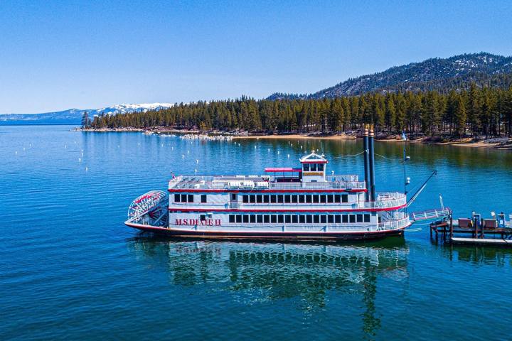
The M.S. Dixie II paddlewheeler runs narrated cruises to the bay from Zephyr Cove, Nevada, and smaller tours leave from South Lake Tahoe marinas.
Kayaking and Paddleboarding Into the Bay
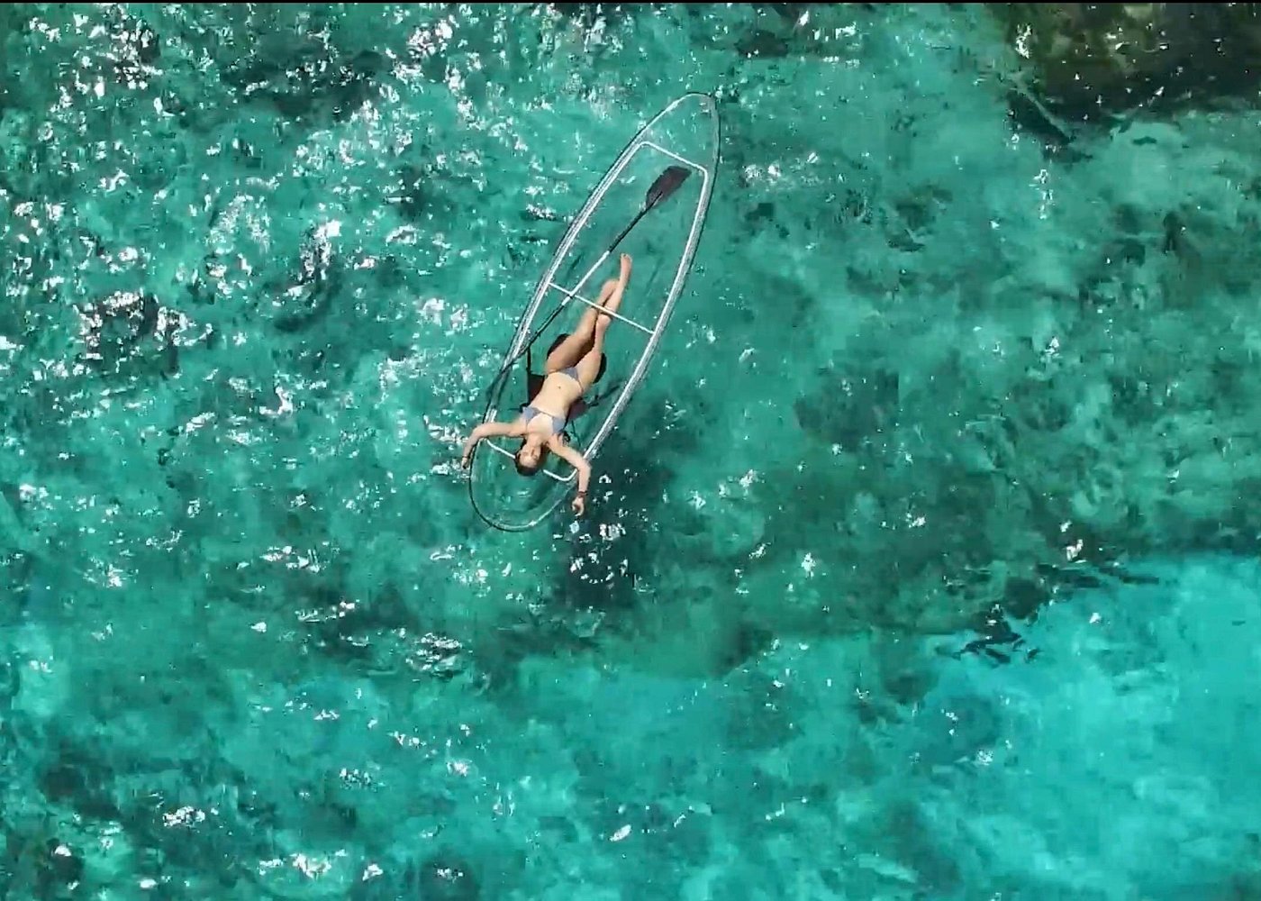
There’s no easy launch inside the bay. Most paddlers launch from Baldwin Beach or Camp Richardson, about 2 miles from the bay’s mouth, or join a guided tour.
My Lake Tahoe kayaking and paddleboarding guide covers launches and rentals.
Highway 89 Winter Closures and Parking at Emerald Bay
Caltrans closes this stretch of Highway 89 in winter storms for snow, avalanche danger and rockfall, for hours or days.
The detour between South Lake Tahoe and Tahoe City runs around the east shore on US-50 and Highway 28, about 1.5 hours.
Where to Park at Emerald Bay
Cars on the highway shoulder get ticketed or towed. In summer, arrive before 9 a.m. or after 4 p.m.
- Inspiration Point: large lot, quick turnover
- Vikingsholm lot: state park fee, fills early
- Eagle Falls trailhead: small Forest Service lot, fee
- Calawee Cove at D.L. Bliss: tiny, seasonal, day-use fee
Where to Stay Near Emerald Bay
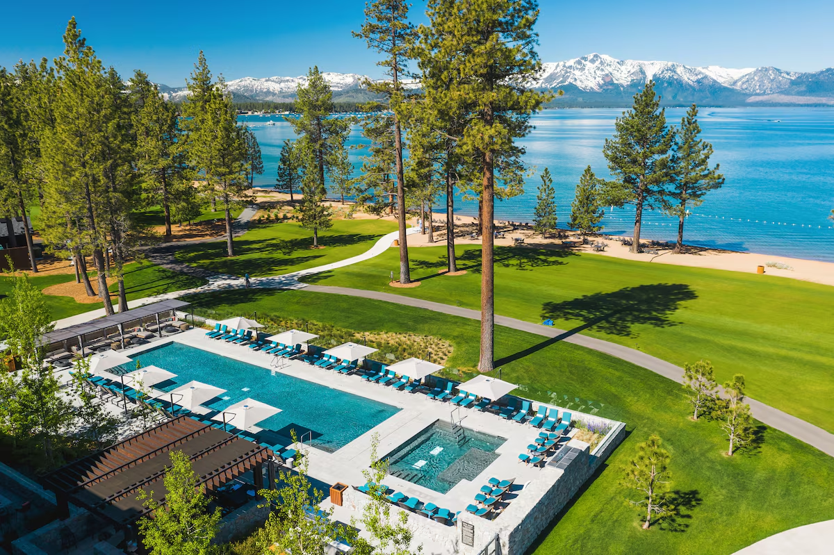
South Lake Tahoe is about 25 minutes away. Options include Desolation Hotel, a small design hotel; The Landing Resort & Spa, on the lake; and Black Bear Lodge, a cabin-style inn.
Eagle Point Campground on the bay’s south point and D.L. Bliss both book through ReserveCalifornia months ahead for summer.
See where to stay in Lake Tahoe and my Lake Tahoe scenic loop.
Frequently Asked Questions
How long is the hike to Vikingsholm?
About 1 mile each way with a 400 to 500 foot drop. Down takes 20 minutes; back up takes 30 to 40.
Is Emerald Bay open in winter?
The park stays open, but Highway 89 closes often in storms and Vikingsholm tours run only in summer. Check Caltrans QuickMap.
Can you swim in Emerald Bay?
Yes, at the Vikingsholm beach and Calawee Cove. The water is cold even in August.
Can you visit Fannette Island?
Yes, by kayak or boat, day use only. It’s closed February 1 to June 15 for nesting Canada geese.
Do you need a permit to hike to Eagle Lake?
Yes, a free self-issued Desolation Wilderness day permit from the Eagle Falls trailhead. Overnight trips need a reserved permit.
Where is the best place to park at Emerald Bay?
Inspiration Point for the view, the Vikingsholm lot for the trail. Both fill early in summer, so arrive before 9 a.m. or after 4 p.m.
Destination guide
My Lake Tahoe hotel, Airbnb and tour picks