Central Coast
Weekend in Santa Barbara: Wine, Beaches and Hikes
A Santa Barbara weekend plan: Funk Zone tasting rooms, a foothill hike, the best beaches, a Santa Ynez Valley wine day, and where to stay and eat.

By Alex Khachigian · Updated September 2026 · 3 min read
Santa Barbara is 2 hours from downtown Los Angeles and 5 hours from San Francisco.
This plan covers Friday in the Funk Zone, a Saturday hike and beach afternoon, and a Sunday in the Santa Ynez Valley.
In This Guide
- Getting to Santa Barbara and Getting Around
- Friday Night: Wine Tasting in the Funk Zone
- Saturday Morning: Best Hikes in Santa Barbara
- Saturday Afternoon: Santa Barbara Beaches and the Old Mission
- Sunday: Santa Ynez Valley Wine Country
- Where to Stay in Santa Barbara
- More Things to Do in Santa Barbara With Extra Time
- FAQ
Getting to Santa Barbara and Getting Around
The Amtrak Pacific Surfliner stops downtown, a few blocks from the beach.
Downtown, the Funk Zone, Stearns Wharf and the waterfront are walkable. You need a car for trailheads and wine country.
Friday Night: Wine Tasting in the Funk Zone
The Funk Zone is a few blocks of warehouses between State Street and the beach and the center of the Urban Wine Trail. Municipal Winemakers and Santa Barbara Winery are good starts.
Where to Eat Friday Night
Eat at The Lark, Lucky Penny for pizza, or Santa Barbara Shellfish Company on Stearns Wharf.
La Super-Rica Taqueria on Milpas Street is cheap and local.
Saturday Morning: Best Hikes in Santa Barbara
Most front country trailheads are 10 to 15 minutes from downtown. Weekend parking fills early, so start by 8 a.m.
Rattlesnake Canyon and Inspiration Point
Rattlesnake Canyon is 3.5 miles round trip to Tin Can Meadow. Inspiration Point, from Tunnel Road, is also 3.5 miles round trip.
Shorter Options
Lizard’s Mouth, off West Camino Cielo, is a short scramble. The Douglas Family Preserve bluffs are flat.
The Montecito Hot Springs Trail is 2.5 miles round trip to small rock pools. Water levels vary.
Saturday Afternoon: Santa Barbara Beaches and the Old Mission
Butterfly Beach in Montecito is good for swimming. Arroyo Burro Beach (Hendry’s) has tide pools and an off-leash dog area.
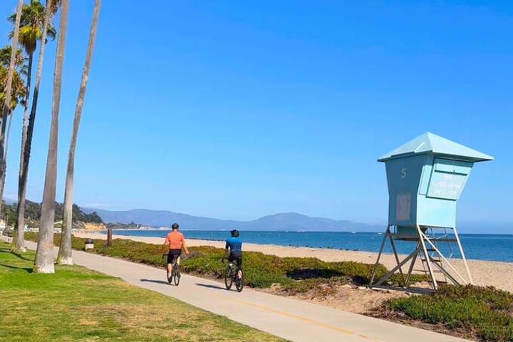
The waterfront bike path runs from East Beach to Stearns Wharf.
The Mission and the Courthouse Tower
Visit Old Mission Santa Barbara, then climb the free Santa Barbara County Courthouse clock tower.
Sunday: Santa Ynez Valley Wine Country
The Santa Ynez Valley is 45 minutes over San Marcos Pass on Highway 154, past Cold Spring Arch Bridge and the Lake Cachuma overlooks.
Los Olivos has dozens of tasting rooms. Solvang is nearby (see my 48 hours in Solvang guide).
Where to Stay in Santa Barbara
The waterfront and Funk Zone are walkable. Montecito is quieter and pricier.
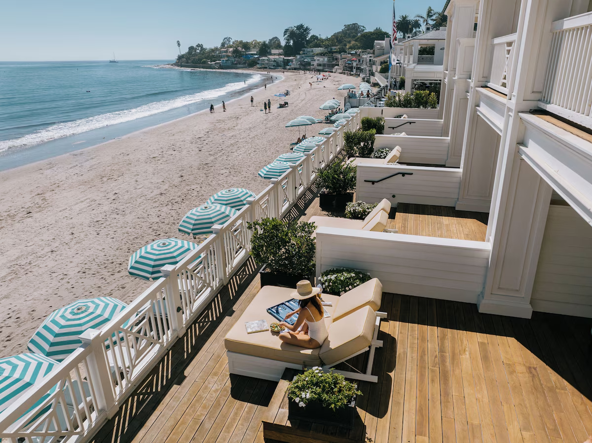
Rosewood Miramar Beach is on the sand in Montecito. La Playa Inn is near West Beach, and Palihouse Santa Barbara is downtown. See my Santa Barbara boutique hotel guide.
More Things to Do in Santa Barbara With Extra Time
Whale watching boats leave the harbor year-round. See my California whale watching guide.
Boats to Channel Islands National Park leave from Ventura, 40 minutes south. See my Channel Islands guide.
Frequently Asked Questions
Can you visit Santa Barbara without a car?
Yes, for the city. Downtown, the Funk Zone and the waterfront are walkable from the Amtrak station, but trailheads and wineries need a car or tour.
What is the Santa Barbara Urban Wine Trail?
A group of tasting rooms, mostly in the Funk Zone and downtown, pouring Santa Barbara County wines within walking distance.
What is the best time of year to visit Santa Barbara?
September and October are usually warmest and clearest. May and June often have a morning marine layer.
What is the easiest hike in Santa Barbara?
The Douglas Family Preserve bluff trail and Lizard’s Mouth. Rattlesnake Canyon is the popular moderate option.
How far is Santa Barbara from the Santa Ynez Valley?
Los Olivos and Solvang are each about 45 minutes away via Highway 154.
Destination guide
My Santa Barbara County hotel, Airbnb and tour picks