Central Coast
Pacific Coast Highway (Highway 1) Road Trip Guide: San Francisco to Los Angeles
A 5-day Highway 1 road trip from San Francisco to Los Angeles: Santa Cruz, Carmel, Big Sur, Hearst Castle, Santa Barbara, and Malibu, with stays and stops.

By Alex Khachigian · Updated September 2026 · 4 min read
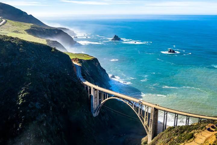
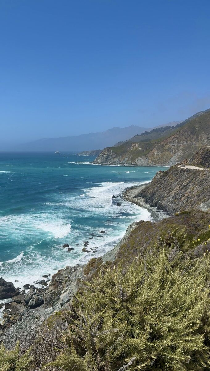
Highway 1 runs about 450 miles from San Francisco to Los Angeles via Monterey, Big Sur, San Luis Obispo, Santa Barbara and Malibu.
This 5-day route lists stops, food and a hotel each night, plus how to handle Big Sur closures.
In This Guide
Planning the Drive: Direction, Season, and Closures
Drive north to south, in the ocean-side lane, for easier turnouts.
It takes 10 to 11 hours without stops. Spring has wildflowers, fall has the clearest weather, and summer mornings are foggy.
In winter, see driving Highway 1 in winter.
Day 1: San Francisco to Santa Cruz
About 2 hours without stops.
- Sleep: Dream Inn Santa Cruz on the beach
Pacifica and Half Moon Bay
Walk the Devil’s Slide Trail in Pacifica, a paved path on the old highway, then the Half Moon Bay coastal trail.
Pescadero, Pigeon Point and Año Nuevo
Stop at Pigeon Point Lighthouse, Pescadero and Davenport, where Shark Fin Cove is worth seeing. In winter, book an Año Nuevo State Park guided walk to the elephant seal colony.
Sunset in Santa Cruz
Watch sunset from West Cliff Drive, above Steamer Lane, or Natural Bridges State Beach.
Day 2: Monterey and Carmel-by-the-Sea
Monterey is under an hour away.
- Sleep: Monterey Plaza Hotel & Spa on the water, or La Playa Hotel in Carmel
Monterey
Visit the Monterey Bay Aquarium (timed tickets) and Cannery Row.
17-Mile Drive
The per-car fee was $11.25 when I posted about it, refunded with a $35 spend at a Pebble Beach Resorts restaurant (not the Pebble Beach Market).
Allow up to two hours. Stops:
- Spanish Bay and Point Joe
- The Restless Sea and China Rock
- Seal Rock and Bird Rock
- Fanshell Overlook and Cypress Point Lookout
- The Lone Cypress and the Ghost Tree
Carmel and Point Lobos
Carmel has 41 passageways and courtyards and no chain restaurants. Watch sunset from Carmel Beach.
Point Lobos State Natural Reserve has a loop trail with sea lions. See the weekend in Carmel-by-the-Sea guide.
Day 3: Big Sur
See the Big Sur driving guide and where to stay in Big Sur.
- Eat: Big Sur Bakery for breakfast, Nepenthe for lunch, or the Big Sur River Inn by the river (open to non-guests)
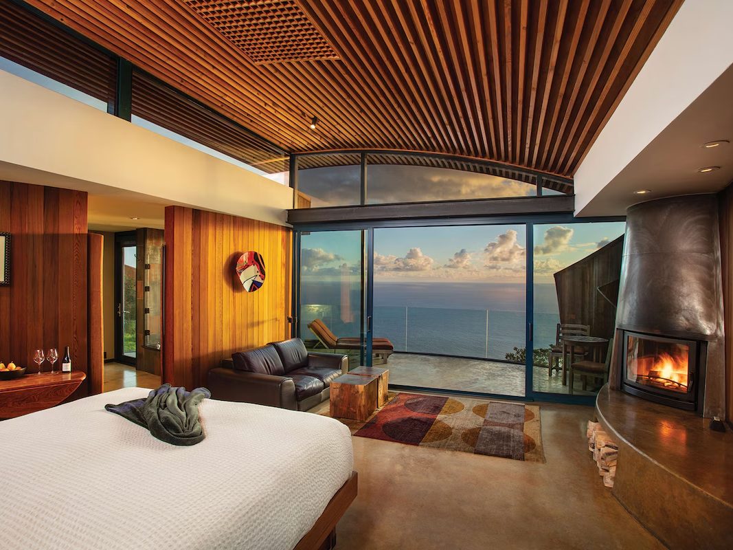
- Sleep: Glen Oaks Big Sur (cabins in a redwood grove), Big Sur River Inn, or Deetjen’s Big Sur Inn
Garrapata to Bixby Bridge
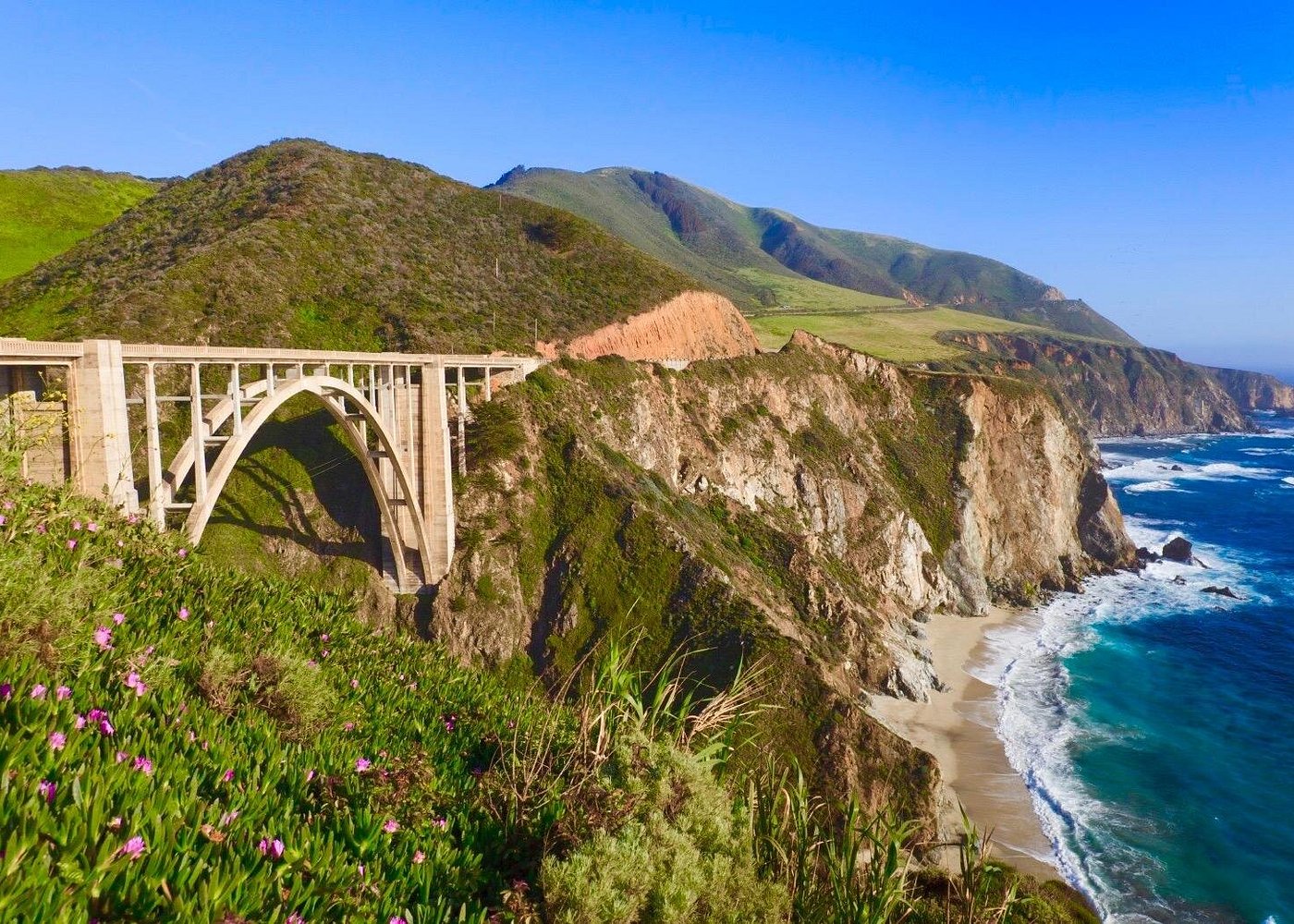
Stop at Garrapata State Park, then drive across Bixby Creek Bridge to Hurricane Point Vista Point above it. You can’t stop at Bixby Bridge, only pass by it.
Pfeiffer Big Sur and the Valley
Pfeiffer Big Sur State Park has short redwood hikes and the Big Sur Lodge Espresso House.
Pfeiffer Beach’s keyhole arch is down narrow Sycamore Canyon Road. No RVs or trailers; the lot fills fast.
McWay Falls and the South Coast
Partington Cove has a steep trail to a cove and tunnel. McWay Falls, at Julia Pfeiffer Burns State Park, is a half-mile round trip.
Big Creek Cove Vista Point and Gamboa Point are pull-offs farther south.
Day 4: Ragged Point, Hearst Castle, and San Luis Obispo
This day assumes the southern Big Sur coast is open.
- Sleep: Madonna Inn, an over-the-top SLO landmark, or Hotel Cerro downtown
Ragged Point and the Elephant Seals
Stop at Ragged Point and the Piedras Blancas elephant seal viewing area (seals year-round).
Hearst Castle
Hearst Castle was built 1919 to 1947, designed by Julia Morgan. Tours require reservations.
The Grand Rooms tour was $35 for adults and $18 for kids 5 to 12 when I posted about it.
Cambria, Morro Bay and San Luis Obispo
Walk the Moonstone Beach Boardwalk in Cambria, pass Morro Rock, and end in San Luis Obispo (Thursday night farmers market).
Day 5: Santa Barbara to Malibu and Los Angeles
Highway 1 shares US-101 for much of today.
- Also: Carpinteria, Point Mugu, Zuma Beach
- Sleep: Shutters on the Beach in Santa Monica
Pismo Beach and Santa Barbara
Santa Barbara is 1.5 to 2 hours past Pismo Beach.
Walk State Street and Stearns Wharf, visit the Old Mission, or eat in the Funk Zone. See the weekend in Santa Barbara guide.
Malibu and Santa Monica
South of Ventura, take PCH through Malibu, stopping at El Matador State Beach, to Santa Monica.
Safety on the Coast
Big Sur’s road has few guardrails. Drive in daylight and use turnouts to let cars pass.
Frequently Asked Questions
How long does it take to drive Highway 1 from San Francisco to Los Angeles?
About 10 to 11 hours without stops. Allow at least 3 days, ideally 5.
Is Highway 1 through Big Sur open?
Landslides have closed parts for long periods. Check Caltrans QuickMap and Caltrans District 5 before your trip.
Should I drive Highway 1 north to south or south to north?
North to south. You will be on the ocean side, with easier access to turnouts.
What is the best time of year to drive the Pacific Coast Highway?
April to June for wildflowers, September to October for clear skies.
How much does 17-Mile Drive cost?
It was $11.25 per vehicle when I posted about it, refunded with a $35 spend at a Pebble Beach Resorts restaurant.
Destination guide
My Big Sur hotel, Airbnb and tour picks