Central Coast
Best Coastal Hikes in Big Sur: Point Lobos to McWay
The best coastal hikes in Big Sur, from Point Lobos and Soberanes Point to Andrew Molera and Partington Cove, with trail stats and Highway 1 tips.

By Alex Khachigian · Updated September 2026 · 3 min read
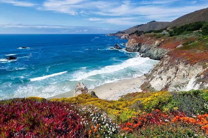
Most Big Sur trailheads are within a mile of Highway 1. This guide covers hikes from Point Lobos to Julia Pfeiffer Burns and south.
For the drive itself, start with my Big Sur driving guide.
In This Guide
- Point Lobos State Natural Reserve
- Garrapata State Park: Soberanes Point and Whale Peak
- Andrew Molera State Park Loop
- Pfeiffer Big Sur State Park: Valley View and Buzzards Roost
- Julia Pfeiffer Burns: McWay Falls and Partington Cove
- South Coast Hikes: Limekiln, Sand Dollar and Salmon Creek
- Highway 1 Closures and Trailhead Parking
- Big Sur Trail Safety
- FAQ
Point Lobos State Natural Reserve
Point Lobos, just south of Carmel, has short, mostly flat trails with cypress groves, coves, sea otters and harbor seals.
Link the Cypress Grove, Sea Lion Point and South Shore trails for a few easy miles. The Point Lobos Loop Trail is in my Big Sur reel. See my Point Lobos guide.
- Cypress Grove Trail: under 1 mile loop
- South Shore Trail: about 1 mile each way past tide pools
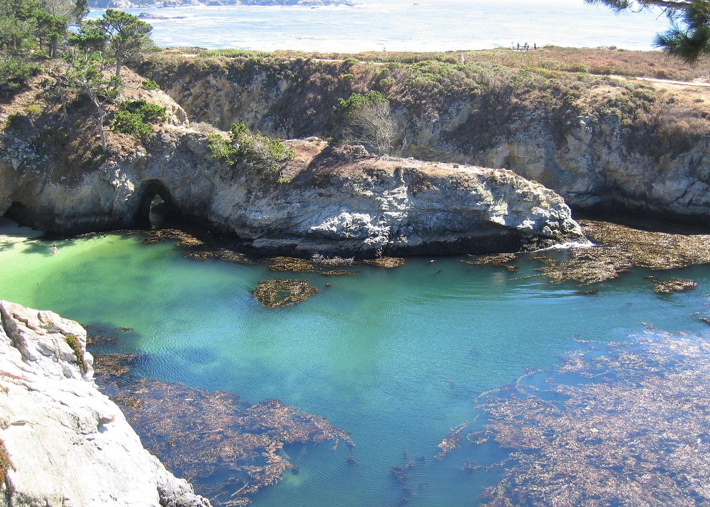
- Bird Island Trail: short walk to China Cove and Gibson Beach views
Garrapata State Park: Soberanes Point and Whale Peak
Garrapata, also on my Big Sur list, has the Soberanes Point Trail loop around a bluff and a short, steep climb up Whale Peak.
Across the highway, the Soberanes Canyon Trail follows a creek into redwoods. Parking is at free highway pull-offs that fill early on weekends.
Andrew Molera State Park Loop
The Andrew Molera loop links the Ridge, Panorama and Bluffs trails for 8 to 9 miles. For a shorter walk, head to Molera Point and the Big Sur River mouth.
Seasonal footbridges are sometimes removed in winter, so check conditions.
Pfeiffer Big Sur State Park: Valley View and Buzzards Roost
The Valley View Trail, off the Pfeiffer Falls Trail, climbs to a lookout down the Big Sur River valley. The Buzzards Roost Trail loops through redwoods to a ridge facing the ocean.
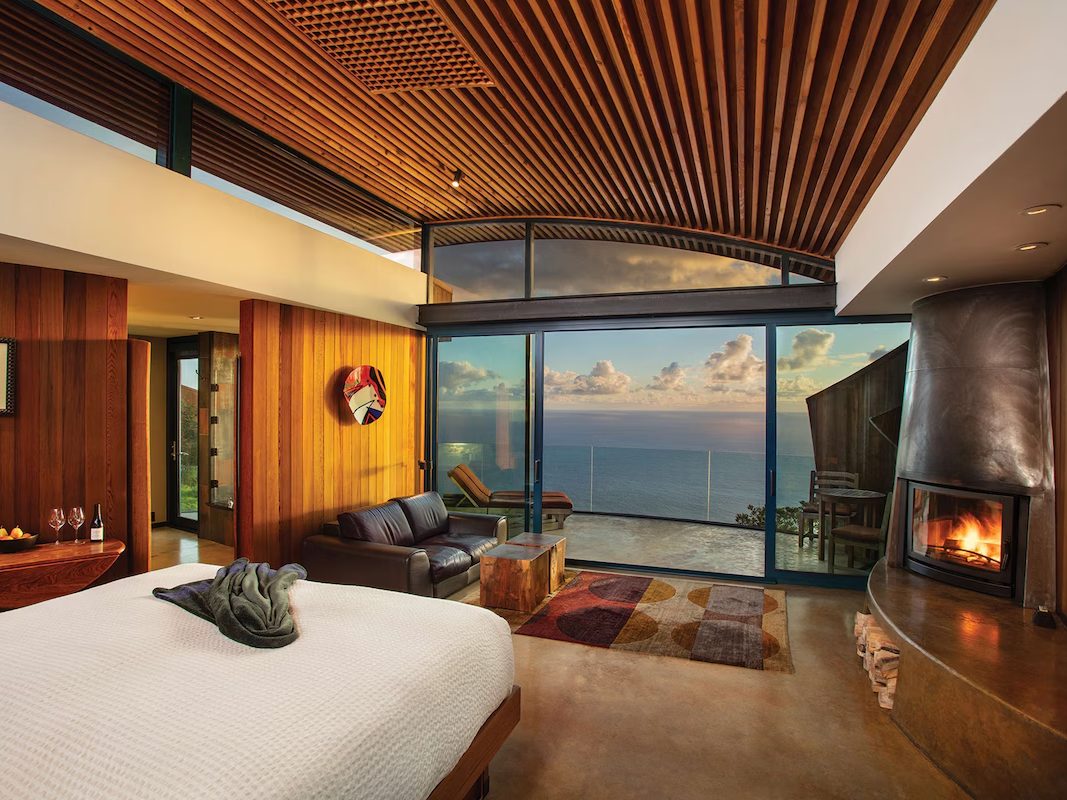
Glen Oaks Big Sur has cabins minutes from Pfeiffer Big Sur and Andrew Molera. Post Ranch Inn is on the ridge between here and McWay Falls.
Julia Pfeiffer Burns: McWay Falls and Partington Cove
The McWay Falls overlook at Julia Pfeiffer Burns State Park shows a waterfall dropping onto a cove beach. The beach is closed.
- McWay Falls overlook: about 0.5 miles round trip, easy
- Partington Cove: about 1 mile round trip, steep
- Tan Bark Trail to the Tin House: about 6 miles round trip, strenuous
Partington Cove and Tan Bark Trail
Partington Cove, a couple of miles north, is a steep walk down a canyon and through a rock tunnel. The Tan Bark Trail across the highway climbs through redwoods to the Tin House.
South Coast Hikes: Limekiln, Sand Dollar and Salmon Creek
Limekiln State Park, also in my Big Sur reel, has redwood trails to lime kilns and a waterfall. Sand Dollar Beach and Salmon Creek Falls are short walks.
Cone Peak and the Mill Creek area suit experienced hikers; check Los Padres National Forest for status.
Highway 1 Closures and Trailhead Parking
Landslides often close Highway 1 for months, including at Paul’s Slide and Regent’s Slide south of Lucia. Check Caltrans QuickMap.
Most trailheads are small dirt pull-offs. Park fully off the pavement and never block gates.
Big Sur Trail Safety
Poison oak and ticks are common. Wear long pants, stay on the trail and check yourself afterward.
Cliff edges are often undercut, so respect closures. Watch for sneaker waves on beaches.
Frequently Asked Questions
What is the best hike in Big Sur?
Point Lobos is the best easy option, Soberanes Point is short with big views, and the Andrew Molera loop is the best longer hike.
Can you hike down to McWay Falls?
No. The beach is closed to protect the bluffs. The overlook trail has the view from above when open.
Are Big Sur hiking trails open?
Most are, but storms, fires and slides cause closures. Check California State Parks, Los Padres National Forest and Caltrans QuickMap.
When is the best time to hike in Big Sur?
Spring for wildflowers, fall for clearer skies. Summer is busy with foggy mornings.
Are dogs allowed on Big Sur trails?
Not on most state park trails, including Point Lobos. Some Los Padres National Forest trails allow leashed dogs.
Destination guide
My Big Sur hotel, Airbnb and tour picks