Sierra Nevada
Lake Tahoe Scenic Loop: Best Stops in North vs. South Lake Tahoe
Drive the 72-mile Lake Tahoe loop with the best stops at Emerald Bay, Sand Harbor, Tahoe City, and South Lake, plus how North and South Tahoe compare.

By Alex Khachigian · Updated September 2026 · 3 min read
The Lake Tahoe loop is about 72 miles, 3.5 hours from San Francisco and 50 minutes from Reno.
This guide goes clockwise from South Lake Tahoe, then compares North and South Tahoe. Plan two to three days.
In This Guide
Planning the Loop
The loop on Highways 89, 28 and 50 takes 3 hours without stops.
Summer traffic is heavy at Emerald Bay and Tahoe City. West Shore cell coverage is spotty.
See the San Francisco to Lake Tahoe drive. The 7-day Highway 395 itinerary ends 2 hours south.
South Lake Tahoe Stops
South Lake Tahoe is the largest town.
- Eat: Sprouts Cafe for lunch, or Base Camp Pizza near the Heavenly Village
Heavenly Gondola and Lakeview Commons
Ride the Heavenly Gondola, then picnic at Lakeview Commons.
Pope and Baldwin Beaches
Pope Beach and Baldwin Beach have calm morning water.
Tallac Historic Site and Taylor Creek
See the Tallac Historic Site estates and walk the Rainbow Trail at Taylor Creek, where kokanee salmon spawn in October.
Emerald Bay and the West Shore
The West Shore road is narrow.
Inspiration Point and Vikingsholm
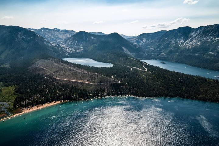
Inspiration Point overlooks Emerald Bay. The steep 1-mile Vikingsholm Trail leads to a Scandinavian-style mansion.
Lower Eagle Falls is a short walk across the road.
D.L. Bliss and Calawee Cove
D.L. Bliss State Park has part of the Rubicon Trail and Calawee Cove Beach, with very clear water.
Meeks Bay and Sugar Pine Point
Meeks Bay and Sugar Pine Point State Park are quieter.
Campers should read the California bear safety guide.
Tahoe City and the North Shore
Tahoe City has the Gatekeeper’s Museum and the paved Tahoe City Lakeside Trail.
River Ranch Lodge, 10 minutes away, has a patio on the Truckee River.
Kings Beach has a wide public beach. Crystal Bay marks the Nevada line.
- Eat: Fire Sign Cafe for breakfast on the West Shore, or Rosie’s Cafe in Tahoe City
Sand Harbor and the East Shore
The East Shore is the least developed.
Sand Harbor and the East Shore Trail
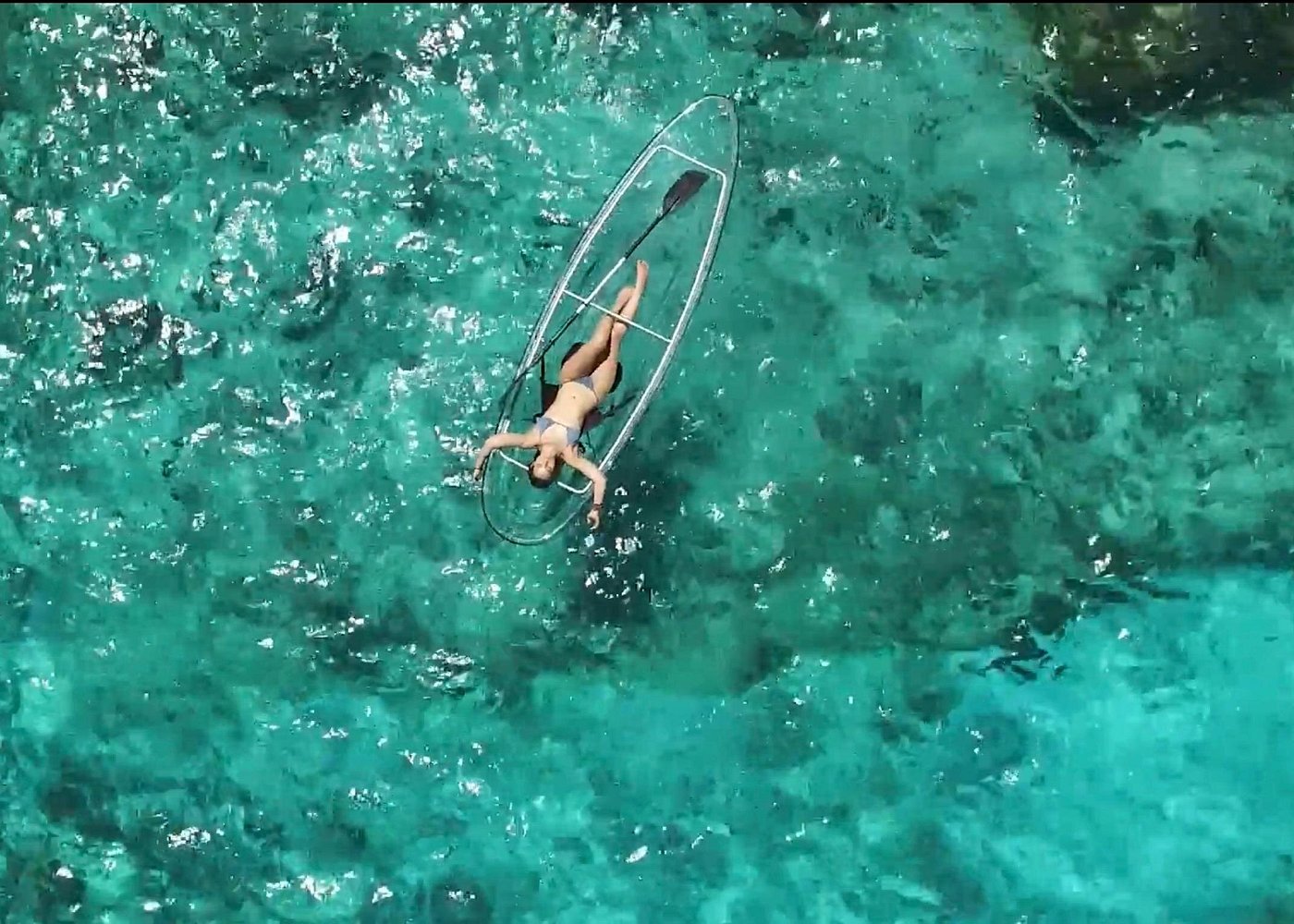
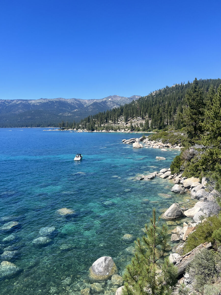
Sand Harbor, in Lake Tahoe Nevada State Park, has coves and boulders for swimming. See kayaking and paddleboarding Lake Tahoe.
The paved Tahoe East Shore Trail runs 3 miles from Incline Village.
Monkey Rock
Monkey Rock is 2.6 miles and 1.5 hours round trip.
Secret Cove, Bonsai Rock and Cave Rock
The Chimney Beach trailhead leads to Secret Cove, a clothing-optional beach. Bonsai Rock is a sunrise photo spot.
Cave Rock and Zephyr Cove, with a large beach, come next.
North vs. South Lake Tahoe: Which Is Better?
South Lake Tahoe suits groups and first-timers.
North Lake Tahoe is quieter.
- Choose South Lake for: nightlife, Heavenly, Emerald Bay access, more hotels
- Choose North Lake for: calm beaches, Palisades and Northstar, Truckee dining, a slower pace
Where to Stay Around the Lake
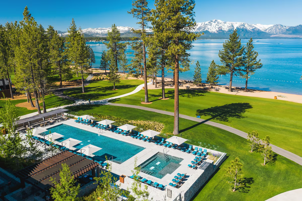
In South Lake Tahoe: The Landing Tahoe Resort & Spa or the Coachman Hotel. North: the Hyatt Regency Lake Tahoe in Incline Village or the Cedar House Sport Hotel in Truckee.
See where to stay in Lake Tahoe. Book peak weekends 3 to 6 months out.
In winter, stay near your ski resort.
Frequently Asked Questions
How long does it take to drive around Lake Tahoe?
About 3 hours without stops. Plan a full day.
Is North or South Lake Tahoe better?
South Lake Tahoe is livelier, with casinos and the most hotels. North Lake Tahoe is quieter and closer to Palisades Tahoe and Northstar.
Is Emerald Bay open in winter?
Highway 89 there can close after storms. Check Caltrans QuickMap.
What is the best beach in Lake Tahoe?
Sand Harbor is the best known. Pope Beach, Kings Beach and Calawee Cove are also good.
Destination guide
My Lake Tahoe hotel, Airbnb and tour picks