Statewide
California Google Maps Overlay: 800+ Pinned Spots
My California Map adds 800+ saved spots to Google Maps: hikes, viewpoints, hot springs, food and stays, sorted by category and ready to use on your phone.

By Alex Khachigian · Updated September 2026 · 2 min read
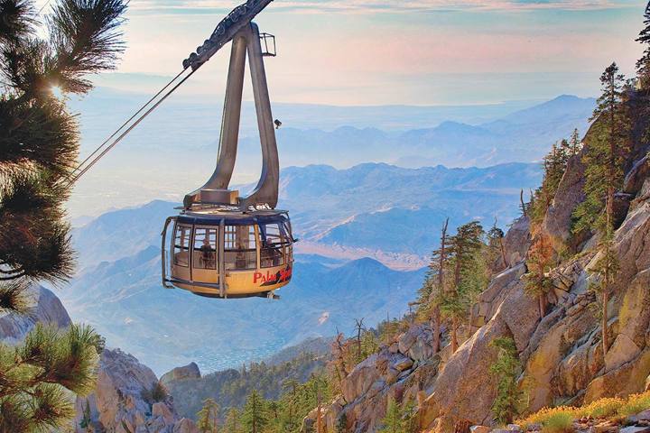
My California Map is a Google Maps layer with more than 800 pins: overlooks, trailheads, hot springs, food and stays.
This page covers what it includes, how to open it and how to use it without cell service.
In This Guide
What the California Map Includes
It opens in the regular Google Maps app. No separate app is needed.
Pins are sorted by category: sunrise viewpoints, short hikes, food and stays. Tap a pin for directions.
How to Open the Map After Purchase
After checkout you get an invite link. Open it on your phone while signed in to Google to save the map.
- Complete checkout and watch for the invite link
- Open it on your phone and sign in to Google
- Find it later under saved maps in Google Maps
- Tap a pin, then navigate as usual
Where the Map Has the Most Pins
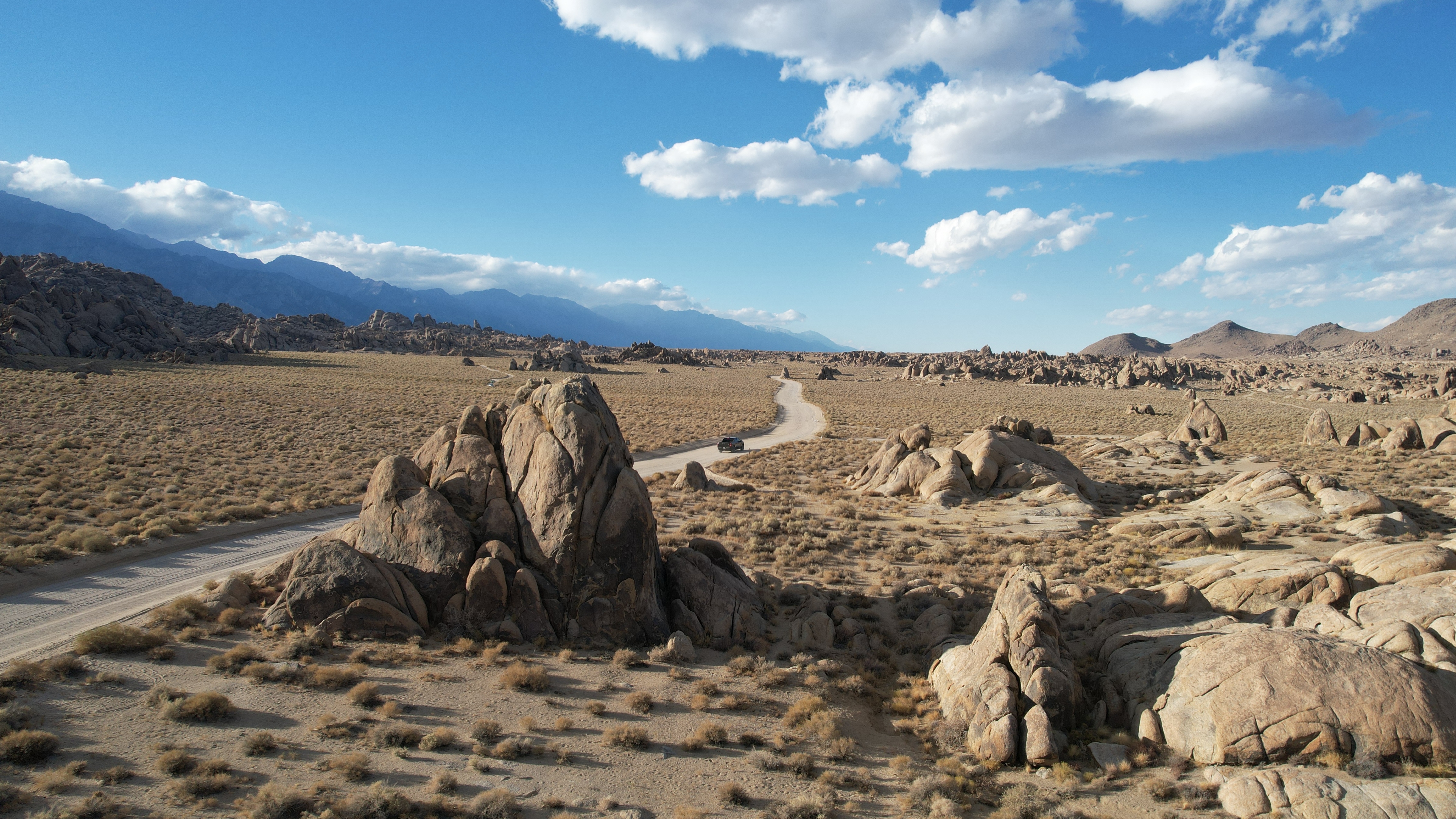
Highway 395 between Lone Pine and Mono Lake is densest, matching the 7-day Highway 395 itinerary.
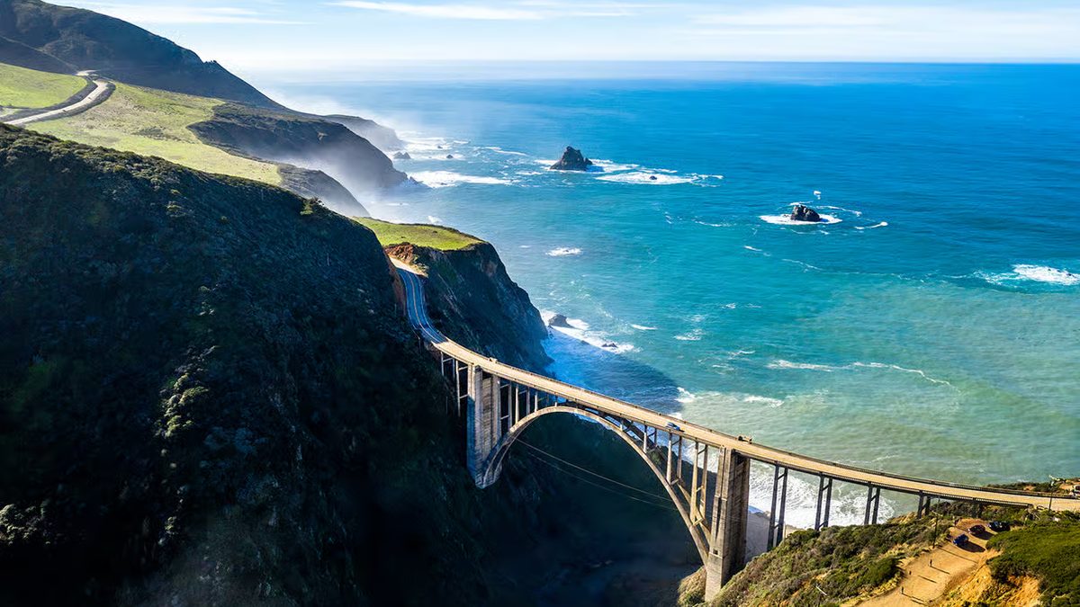
Big Sur and Highway 1 pins match the Big Sur driving guide. Yosemite, Sequoia and Kings Canyon, Joshua Tree and Death Valley are also well covered.
Planning a Driving Day With the Pins
Pins show alongside your saved places and live traffic. Pick two or three stops each morning and add them as waypoints.
For road conditions and offline trail maps, see the best travel apps for a California road trip.
Using Google Maps Without Cell Service
Big Sur, Death Valley and roads off 395 have little or no signal. Download offline areas in Google Maps for every region first.
Save planned stops to your own list while you have signal. Screenshot key pins for remote areas.
Frequently Asked Questions
Do I need a special app to use the map?
No. It works in the Google Maps app and in a browser. You need a Google account to open the invite.
Does the map work without cell service?
Navigation works if you download offline areas first. Save and screenshot key pins while you have signal.
Which parts of California does the map cover?
The whole state, with 800+ pins. Densest along Highway 395, Big Sur and Highway 1, and in the major national parks.
Can I use the map on my computer for trip planning?
Yes. Open it in a browser signed in to the same Google account.
Can I add the pins to my own Google Maps lists?
Yes. Tap any pin and save it to one of your lists.