Desert
Death Valley & Eastern Sierra 5-Day Winter Itinerary
A 5-day winter road trip from Lone Pine to Death Valley, Bishop, and Mammoth, with sand dunes, snowy peaks, hot springs, and tips on chains and weather.

By Alex Khachigian · Updated September 2026 · 3 min read
This 5-day winter loop from Los Angeles covers Lone Pine, Death Valley National Park, Bishop and Mammoth Lakes.
It covers stops, lodging, chains and closures.
In This Guide
Winter Planning Essentials
Pack for desert days and mountain snow.
- Pack: warm layers, down jacket, gloves, sunglasses, sunscreen, water
- Fuel: fill up in Lone Pine and Bishop; gas in Death Valley is limited and expensive
- Passes: an America the Beautiful pass covers Death Valley entrance fees
Death Valley Weather
Furnace Creek days are in the 60s to low 70s; nights near freezing.
Book in-park lodging 2 to 4 months ahead, or see where to stay near Death Valley.
Eastern Sierra Snow
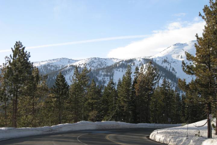
Storms bring chain controls on 395 over Sherwin Summit and near Mammoth.
Tioga Pass, Sonora Pass, the bristlecone road and the Bodie road close in winter. See driving Highway 395 in winter.
Day 1: Los Angeles to Lone Pine and the Alabama Hills
Lone Pine is 3.5 hours from Los Angeles. Spend the afternoon on Movie Road in the Alabama Hills.
Walk the half-mile Mobius Arch loop, with Heart Arch and Lathe Arch nearby.
Whitney Portal Road usually closes partway in winter.
- Eat: Alabama Hills Cafe
- Sleep: Dow Villa Motel in Lone Pine
Day 2: Panamint Springs, Stovepipe Wells, and the Dunes
Stovepipe Wells is 1.5 to 2 hours east via Highway 136 and 190.
- Sleep: Stovepipe Wells Village Hotel or Panamint Springs Resort
Father Crowley Vista Point
It overlooks Rainbow Canyon, two minutes from the car.
Mosaic Canyon
Polished marble walls narrow into slots.
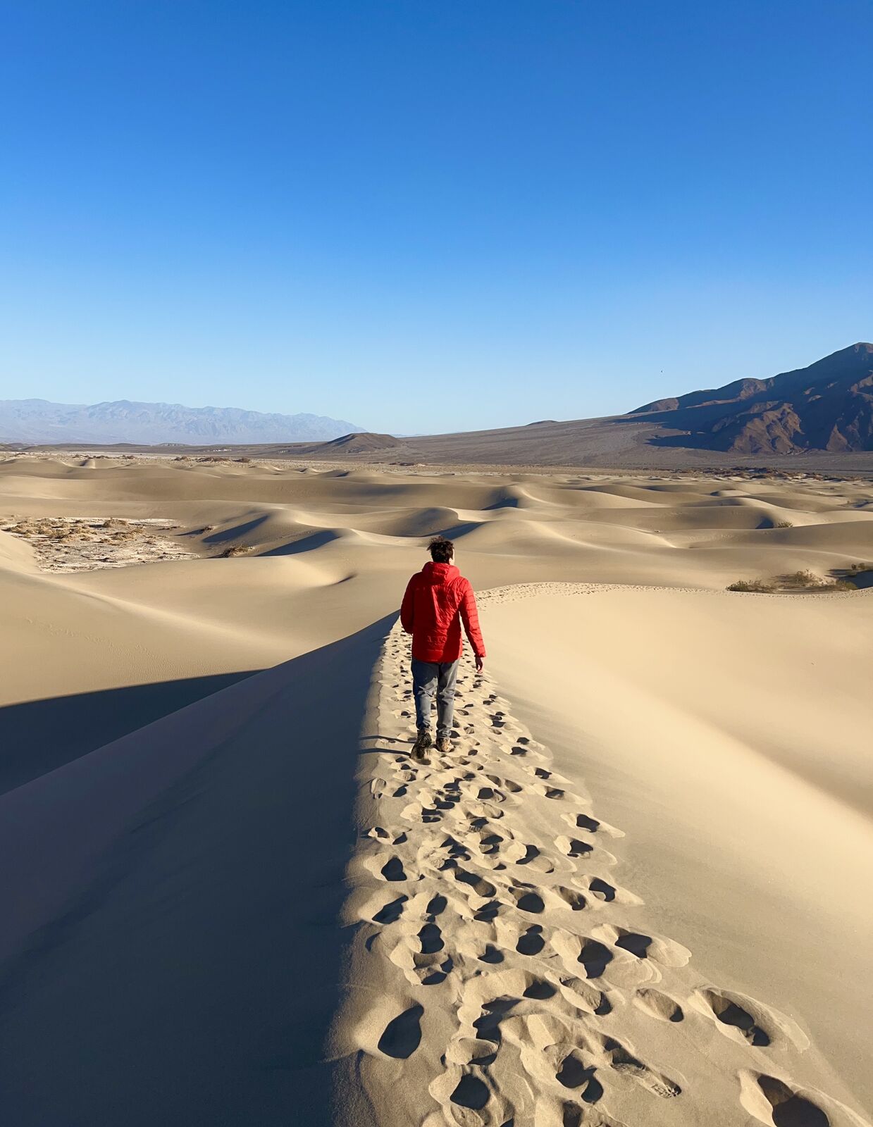
Mesquite Flat Sand Dunes
Walk the dunes at sunset; there is no set trail.
See the California stargazing guide.
Day 3: Furnace Creek and Badwater Basin
Everything is within 20 miles of Furnace Creek.
- Eat: The Last Kind Words Saloon at The Oasis at Death Valley
- Sleep: The Inn at Death Valley or The Ranch at Death Valley
Zabriskie Point and Golden Canyon
Watch sunrise at Zabriskie Point, then hike Golden Canyon to Red Cathedral (3 miles round trip).
Badwater Basin and Devils Golf Course
Badwater Basin is 282 feet below sea level, the lowest point in North America.
Stop at Devils Golf Course and Natural Bridge. Sidewinder Canyon has slots; see the California slot canyons guide.
Artists Drive
Drive the one-way loop past Artists Palette in late afternoon.
Day 4: Dante’s View to Bishop
Dante’s View, above 5,000 feet, overlooks Badwater Basin. It is often cold.
Stop at Harmony Borax Works, then drive 3 to 3.5 hours to Bishop via Panamint Springs.
Soak at Keough’s Hot Springs south of Bishop.
- Eat: Erick Schat’s Bakkery for sandwiches, Mountain Rambler Brewery for dinner
- Sleep: Creekside Inn in Bishop
Day 5: Mammoth Lakes in Winter and the Drive Home
Mammoth is 45 minutes north. Check conditions first.
- Sleep (if staying longer): Tamarack Lodge or The Westin Monache Resort
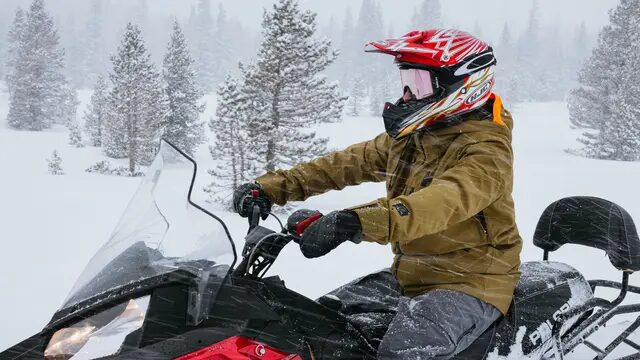
Skiing or Snowshoeing
See skiing and snowboarding Mammoth for first-timers.
Tamarack Lodge has snowshoe rentals and groomed Nordic trails.
Hot Creek in the Cold
Hot Creek steams heavily in cold weather.
Leave No Trace in the Desert and Snow
Never drive off-road in Death Valley.
In the Sierra, use bear boxes and respect road closures and avalanche warnings.
Frequently Asked Questions
Is winter a good time to visit Death Valley?
Yes. Days are good for hiking. It is the busiest season, so book ahead.
Do I need snow chains for Highway 395 in winter?
Carry chains in any vehicle. Caltrans can require them even for 4WD.
How far is Death Valley from Mammoth Lakes?
Furnace Creek to Mammoth Lakes is about 4 hours via Highway 190 and US-395. Tioga Pass is closed in winter.
Can I do this trip in 3 days instead of 5?
Yes, but pick one side. The 3-day Death Valley winter itinerary covers only the park.