Central Coast
Driving Highway 1 in Winter: Big Sur Closures and Tips
Driving Highway 1 in winter: Big Sur slide closures, where to check road status, detours, storm driving tips, and the elephant seals and whales you’ll see.

By Alex Khachigian · Updated September 2026 · 2 min read
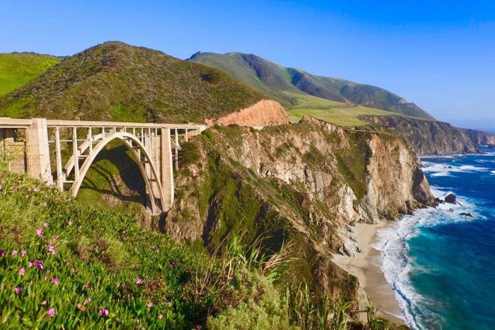
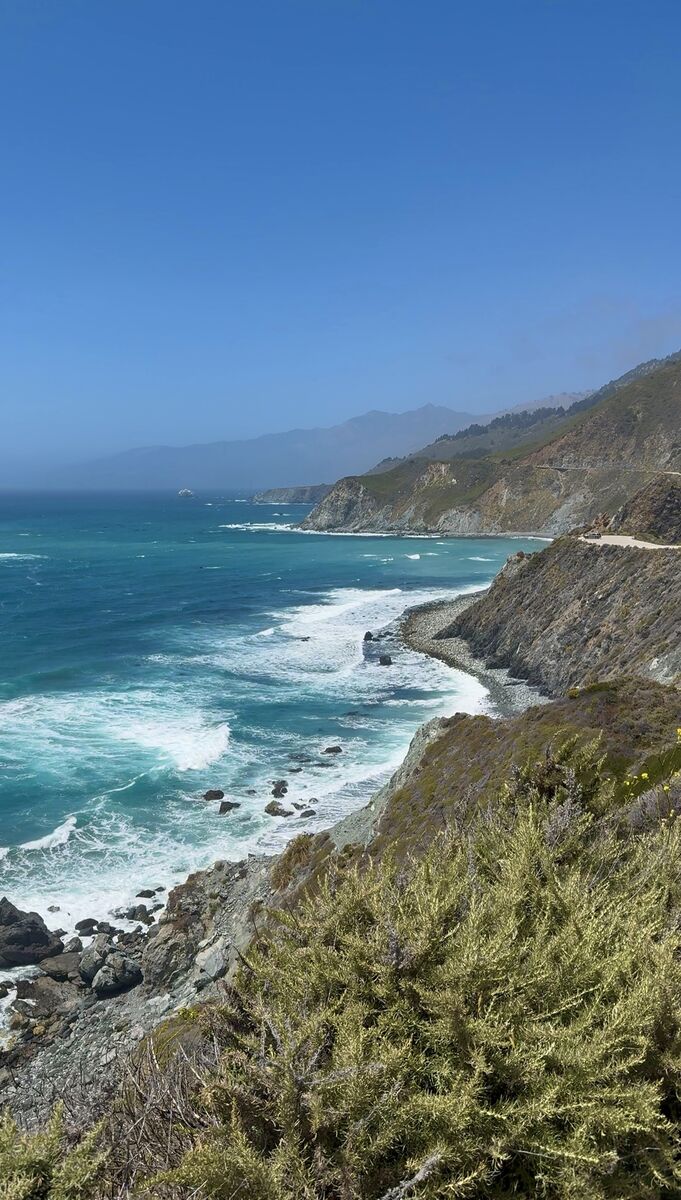
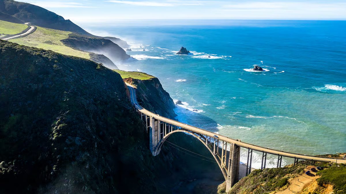
Winter on Highway 1 has fewer crowds, but storms trigger landslides in Big Sur that can close the road for months.
This guide covers conditions, closures, detours, wildlife and lodging. Check Caltrans QuickMap the day you drive.
In This Guide
Winter Weather on the California Coast
Storms from November to March bring rain, wind and big surf. Between storms, Central Coast highs are in the 50s and 60s, and sunset is early.
Big Sur Closures and Landslides
Paul’s Slide near Lucia and Regent’s Slide farther south have closed sections for long periods, cutting through-traffic between Carmel and Cambria. Never assume you can drive through.
- Caltrans QuickMap (quickmap.dot.ca.gov)
- Caltrans District 5 updates
- Caltrans road line: 1-800-427-7623
- Big Sur Chamber of Commerce
What You Can Usually Reach During a Closure
From the north: the Big Sur Valley, Pfeiffer Beach and sometimes McWay Falls. From the south: the Piedras Blancas elephant seal rookery and Ragged Point.
Detours When Highway 1 Is Closed
The standard detour is US 101 through Salinas, King City and Paso Robles, then Highway 46 west to Cambria.
Nacimiento-Fergusson Road, from US 101 near Fort Hunter Liggett to Highway 1 near Kirk Creek, is narrow, steep and often closed after storms.
Northern Highway 1 in Winter
Sections near Stinson Beach and Jenner occasionally close after heavy rain. Mendocino is quieter in winter; see my Mendocino weekend guide.
Winter Wildlife on Highway 1
The free Piedras Blancas viewing area north of San Simeon is right off Highway 1. Gray whales are visible from Point Lobos, Garrapata and Point Reyes.
- Elephant seals: December to February, births and fighting males
- Gray whales: about December to April
- Monarchs in Pacific Grove and Pismo Beach: late fall to February
Safe Driving Tips for Winter Storms
Slow down, watch for rocks and stay off the road at the peak of a storm. Pull fully off at signed turnouts.
- Check QuickMap in every town with service
- Fill up in Carmel, Monterey or Cambria
- Drive in daylight
- Download offline maps
Where to Stay on Highway 1 in Winter
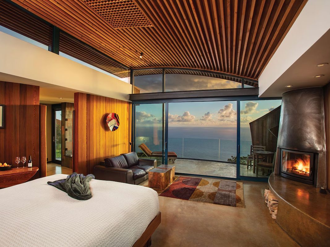
Lodging is easier to book in winter. Glen Oaks Big Sur, Big Sur River Inn and Deetjen’s Big Sur Inn are in the Big Sur Valley; Carmel, Monterey and Cambria are at each end.
Book refundable rates. See my where to stay in Big Sur guide.
Frequently Asked Questions
Is Highway 1 open in winter?
Generally, but storms cause closures, especially in Big Sur. Check Caltrans QuickMap.
Is it safe to drive Big Sur in the rain?
Yes, if you slow down, drive in daylight and avoid the peak of a storm.
What is the detour if Highway 1 is closed in Big Sur?
US 101 through Salinas, King City and Paso Robles, then Highway 46 west to Cambria.
Is winter a good time to visit Big Sur?
Yes. Crowds are smaller and lodging is easier to book. Keep days flexible.
When can you see elephant seals at Piedras Blancas?
Year-round, peaking December to February. Viewing is free.
Destination guide
My Big Sur hotel, Airbnb and tour picks